NV Space Grant Highlight
Risk Mapping Salt Mobilization and Mitigation Strategy Evaluation for Rangelands by Michael Founds, Desert Research Institute
Overview:
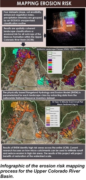
Although rangeland covers the majority of the western United States, the impact of management practices on rangeland erosion is not well understood. Our team developed a risk mapping process to identify areas where disproportionate amounts of erosion occur within the Upper Colorado River Basin. Our approach leveraged NASA remote sensing and National Resource Inventory datasets to parameterize the Rangeland Hydrology and Erosion Model. The results predict erosion rates over large basins.
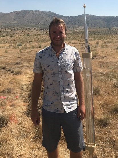
My current research is on a restoration strategy at the hillslope scale that uses micro-catchments to capture runoff and potentially reduce erosion. Field studies using a rainfall simulator were conducted to create predictive 2-D vadose zone models of infiltration dynamics. These models will inform restoration strategies intended to reduce hillslope erosion.
The NVSGC fellowship allowed me to pursue novel field studies and share my findings with scientists and stakeholders across the country. I’m currently pursuing a master’s in hydrology at the University of Nevada, Reno, focusing on erosion and infiltration dynamics at multiple scales.
NASA Content and Resources Used:
This research effort uses large geospatial datasets created by NASA and other government agencies, including the Enhanced Vegetation Index data from NASA’s MODIS satellite. I was also awarded the 2018 NVSGC fellowship.

